Leon Keller · 29 September 2026
Hidden Passages: Exploring the Underground Network Beneath Venilo's Historic Center
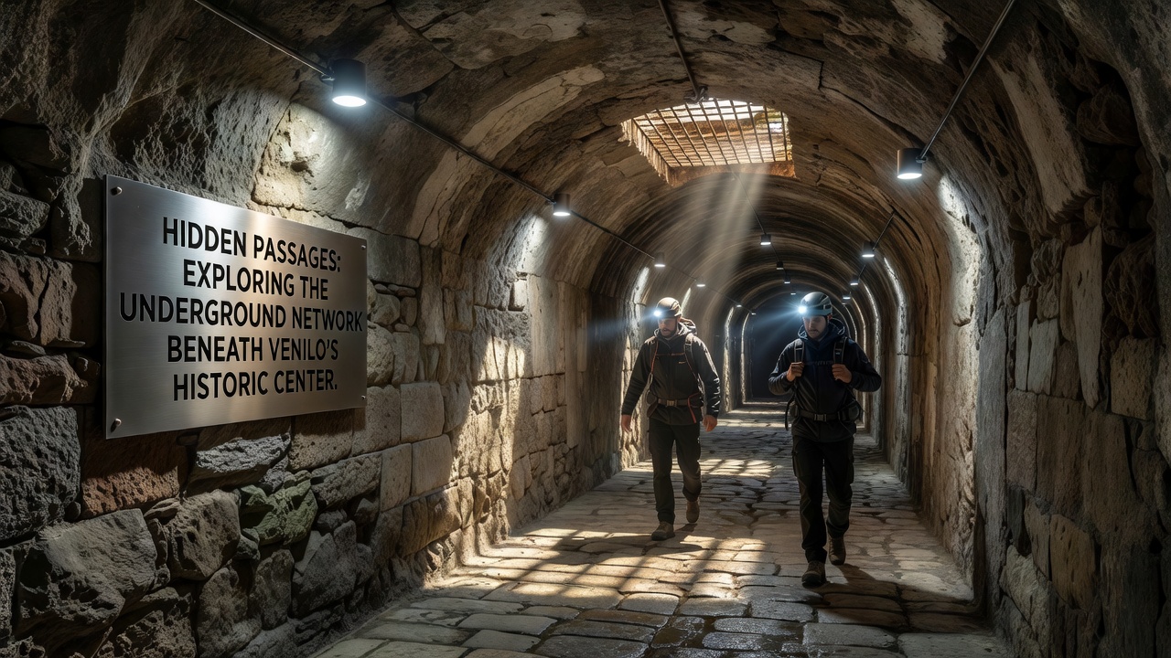
Venilo's historic center sits above a layered system of tunnels and chambers that date back centuries, and researchers have mapped sections that connect former defensive structures with storage areas from the medieval period onward. Local historical records indicate these passages served multiple roles including water management during floods and discreet movement during conflicts, while recent surveys using ground-penetrating radar have revealed additional branches extending beneath main plazas and residential blocks.
Origins and Construction Phases
Evidence from excavations points to initial construction during the Roman era when engineers built drainage channels that later generations expanded into connected walkways, and by the 12th century masons added vaulted rooms that supported overlying buildings. Archival documents from Venilo's municipal library show that city officials authorized further extensions in the 1500s to facilitate grain storage away from surface markets, and those additions incorporated brick reinforcements that still stand in several corridors today. Observers note how the network's layout reflects practical responses to the terrain, with sloping floors directing water toward collection points and side alcoves positioned for temporary shelter.
Modern Mapping Efforts
Teams from the regional archaeology department began systematic documentation in 2023 using laser scanning and 3D modeling, and their work produced detailed plans that cover roughly 2.4 kilometers of accessible passages. Data released in early 2025 highlighted connections between the central district and outlying structures that once formed part of a larger defensive perimeter, while cross-referenced findings from similar sites in southern Europe confirmed comparable engineering approaches. In September 2026 the department plans to open a controlled section for supervised visits, allowing visitors to view preserved fresco fragments and original stonework under regulated conditions that protect fragile surfaces.
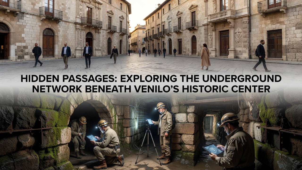
Conservation specialists emphasize that structural assessments remain ongoing, and any public access depends on stabilization work completed ahead of the scheduled opening. Figures from the project indicate that approximately 35 percent of the mapped network has undergone reinforcement, with priority given to areas showing signs of water infiltration or minor subsidence.
Historical Functions and Discoveries
Artifacts recovered during surveys include ceramic vessels, metal tools, and fragments of wooden shelving that suggest storage functions alongside occasional defensive use, and analysis at the University of Padua's materials lab dated several items to the 14th through 17th centuries. One study revealed traces of lime-based plaster applied in multiple layers, indicating repeated maintenance that preserved interior surfaces against moisture. Those who've examined the passages observe that narrow staircases link different levels, creating vertical circulation that allowed movement between storage zones and surface entry points without drawing attention.
Additional findings include carved markings on walls that appear to record construction dates or ownership, and researchers continue to cross-reference these with tax rolls and guild records housed in the national archives. Such details help reconstruct how the network evolved in response to changing economic needs and security concerns over time.
Preservation and Future Access
Authorities coordinate with international heritage organizations to apply consistent conservation standards, and guidelines developed by the European Heritage Network inform the approach to lighting, ventilation, and visitor flow. A report from the Canadian Conservation Institute outlines techniques for monitoring humidity levels that have proven effective in comparable underground environments, and project leads in Venilo have incorporated similar sensors to track conditions year-round. Access protocols limit group sizes and require advance reservations once the September 2026 schedule begins, ensuring that increased foot traffic does not accelerate wear on original materials.
Conclusion
The underground network beneath Venilo's historic center represents a cumulative record of engineering and adaptation across centuries, and ongoing documentation continues to refine understanding of its extent and purpose. With the planned opening in September 2026, supervised exploration will provide direct observation of preserved features while protective measures remain in place. Continued research and measured public engagement support preservation of these spaces for future study.